Captivate
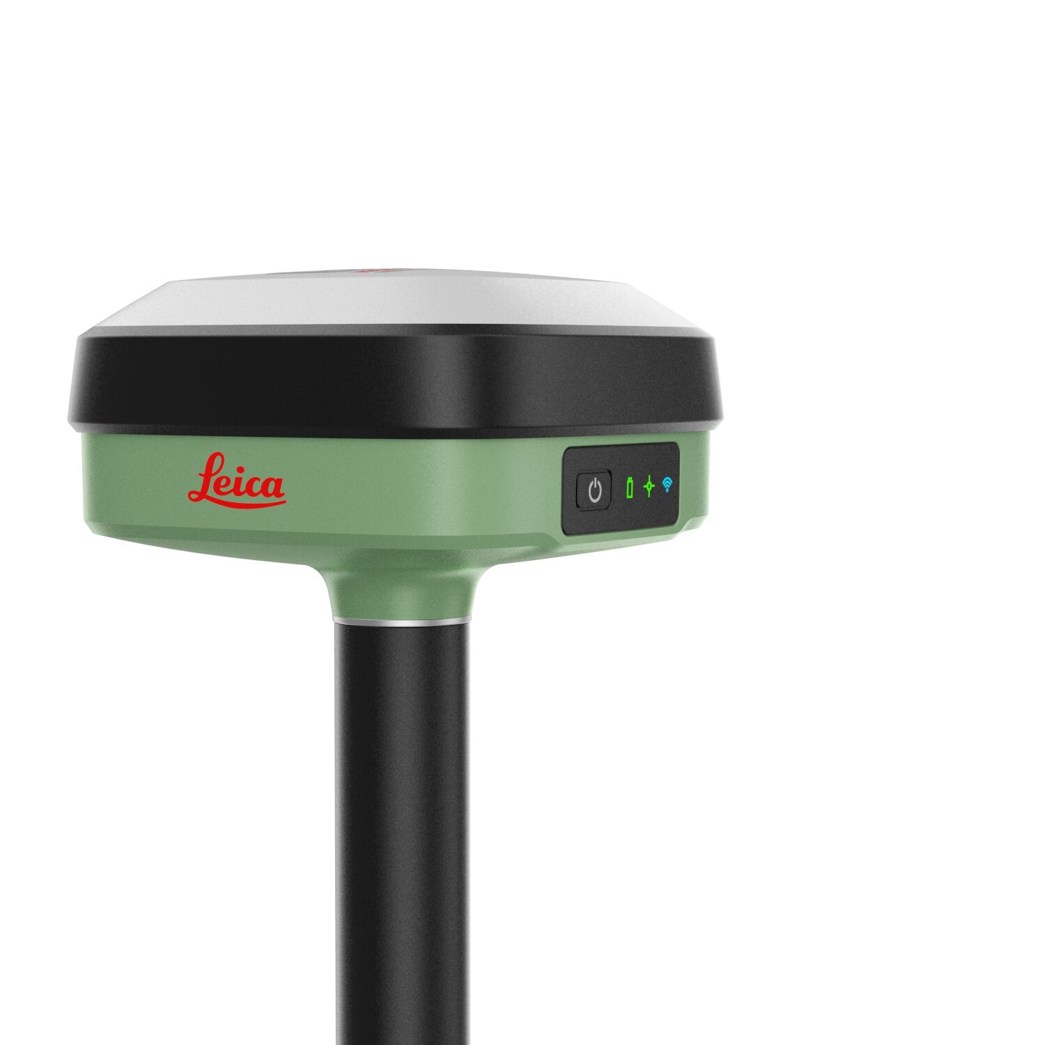
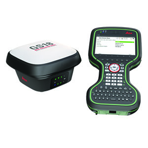
Leica GS18 I GNSS RTK Rover with Visual Positioning
Imagine the power of Visual Positioning
Introducing Leica GS18 I, a versatile, survey-grade GNSS RTK rover with Visual Positioning. Designed for surveying professionals to measure points which previously could not be measured with a GNSS rover easily and accurately. Now, you can quickly capture the site in images and measure points from them, either in the field or later in the office. For GS18, I means imaging.
Sensor fusion of GNSS, IMU and a camera come together to create Visual Positioning technology, resulting in a GNSS RTK rover so powerful that it enables you to measure what you see. GS18 I has all the functionality of the Leica GS18 T: in addition to Visual Positioning, users can for example map points with either tilted or levelled pole.
· Measure points with obstructed view to the sky more efficiently and easily.
· Capture points you couldn’t reach before with a GNSS rover.
· Gain more flexibility and control, with no need to use additional time-consuming equipment.
· Map hundreds of points with survey-grade accuracy within minutes.
· Capture the scene quickly and decide later, what should be measured – even if the scene subsequently changes or disappears.
· Tap on an image to measure a point in the field or in the office.
· Quick and thorough so you catch every detail.
Leica GS18 T
Documents
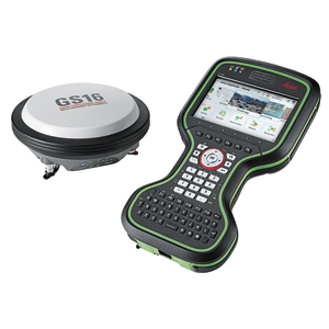
Leica GS16
Documents
Leica GS07
Documents
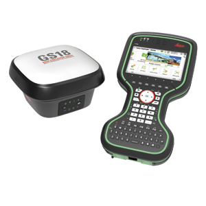
Leica GS18 I
Documents

Leica GS18
Documents