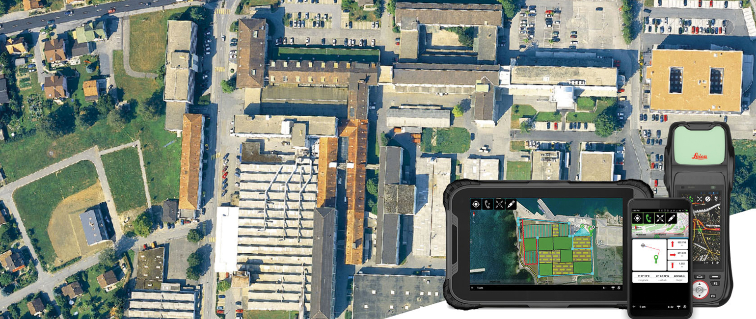
GIS Handhelds and Tablets
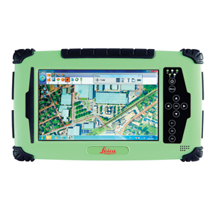
Leica GIS Collector
Simple, accurate and rugged asset management
The Leica GIS Collector simplifies daily data capture for GIS field personnel. Leverage the strength of cutting-edge technology in one remarkably compact device.
So simplistic it will become your indispensable tool.
So accurate you will always be sure.
So productive it will change your workday.
Made rugged to withstand the elements of any work site, the Leica GIS Collector comes with a durable IP67 dust and waterproof rating. Work from anywhere when you download the Android app that streams RTK-corrected GNSS positons.
Solve daily GIS challenges with new technologies
The No. 1 challenge facing GIS field personnel is GNSS-denied environments. Collecting reliable and accurate positioning data is near impossible in these areas. This struggle is eliminated with new innovative technologies by Leica Geosystems inside the Leica GIS collector:
Apogeetec
Even in closed or covered areas, such as dense forests, an internal antenna enables collecting accurate position data. With maximum performance, collect more, collect simpler.
Gamtec
Be more productive, increase safety and save time when the Leica GIS collector is combined with the Leica DISTO S910 laser distance metre. End the struggle to access hard-to-reach and dangerous points when you simply aim and instantly collect from anywhere, anytime.
More accuracy, greater time savings, increased productivity – achieve all this with the Leica GIS collector’s better satellite acquisition with stronger signals and contactless offset measuring . This GIS solution is truly comprehensive and second to none.
Leica Geosystems, Esri improve GIS with ZenoCollector
The leader in measurement technology has joined with the leader in GIS technology to bring you an all-new integrated solution in mobile data capturing. The rugged Leica GIS Collector combines with the powerful Collector for ArcGISto create the ZenoCollector. With Collector for ArcGIS as its main user interface and bundled with an ArcGIS Online organisational subscription for one year, the ZenoCollector:
Saves time automatically synching field changes to enterprise information
Increases productivity opening access to all for the latest data from the field
Improves accuracy with professional-grade GNSS coordination
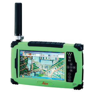
Leica Zeno 20
Documents
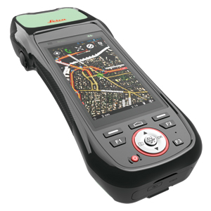
Leica CS25 PLUS
Documents