Cable Locators
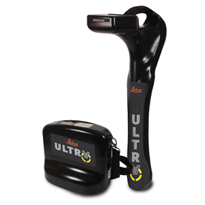
Leica ULTRA Utility Tracing System
Best precision locating in faster, more confident work
Save time and increase confidence in your results with the Leica ULTRA, our most advanced precision utility tracinginstrument.
The complexity of underground utility networks is continually increasing, and obtaining precise information on the location of buried utilities has never been more important. The protection of buried assets during excavation work demands accurate mapping and surveying of existing utilities.
Integrating intelligent signal processing with unique flexible operating modes, Leica ULTRA traces buried utility lines accurately for safe underground excavations and utility surveys. Outstanding performance with operational ease and flexibility.
Optimised specifically for utility tracing
· Configuration for challenging environments
Optimise the instrument to overcome the most challenging and complex site conditions. The Leica ULTRA locator can be configured for different project environments and has more than 100 programmable operating frequencies available. Programme modes can adapt the antennas to deliver improved accuracy and repeatability.
· Best frequencies in congested environment
When working in congested environments, the Leica ULTRA incorporates Ambient Interference Measurement (AIM), which digitally analyses the surrounding area for noise and recommends the best frequencies for accurate utility tracing.
· Trace utilities through any obstruction
There will always be an occasion when the utility runs close to or underneath an obstruction. With Offset Measuring, the Leica ULTRA locates the target line if not directly accessible from above. The function uses the available data to estimate the horizontal and vertical (depth) distance.
· Transmitter to receiver link
Control the transmitter directly from the receiver with the cutting-edge communication link between the Leica ULTRA receiver and the transmitter. No more walking from the tracing line to the transmitter, simply adjust the settings automatically.
· Clear operational display
Clear graphical LCD screen, with auto-pinpointing directional arrows. Ensure confident and fast tracing in all operating conditions, day or night, with the large backlit display.
· GNSS & GIS integration
True one man, single-step data capture solution for buried utility mapping or surveying applications. Leica ULTRA integrates with GNSS or GIS data capture devices.
Leica ULTRA Utility Tracing System
Documents
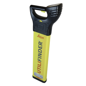
Leica UTILIFINDER+
Documents

Digicat i Series
Documents
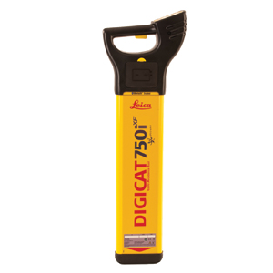
Digicat xf Series
Documents
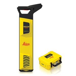
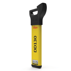
DD220/DD230 SMART Utility Locators Solution
Documents