Nova
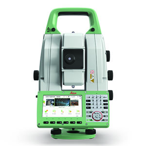
Leica Nova MS60 MultiStation - For all your measurement tasks
The ultimate all-rounder, combining total station functionality with 3D laser scanning, GNSS connectivity and digital imaging
The new version of Leica Nova MS60, the world’s first MultiStation, enables you to perform all surveying tasks with one instrument. It brings sensor fusion to the next level by combining:
· Highest-end total station capabilities
· 3D laser scanning, enabling you to scan up to 30’000 points per second
· GNSS connectivity
· Digital imaging
The MS60 comes with Leica Captivate, an onboard software with easy-to-use apps that cover all your surveying tasks. To make your work even more productive, you can benefit from the MS60’s Dynamic Lock feature as well as the newly added, revolutionary setup assistant feature, AutoHeight - which helps you setup even faster and more accurately with the simple press of a button.
When to use the Leica Nova MS60:
Surfaces and volumes in construction and mining: spoil heaps and stock piles, DTM creation and checking surfaces, material thickness, blast faces and ground levels
Analysis of complex structures and objects within plant, marine and utility projects: dimensional control, as-built and record keeping
Measuring buildings and structures: bridge condition/clearance analysis, BIM and as-built
Façade, elevations and heritage work: creation of traditional façade deliverables, 3D models and photographic documentation
Traditional topographic surveys for surveying and mapping: creation of traditional deliverables like 2D maps or 3D models
Monitoring measurement and analysis of ground and structures: real-time or periodic measurement of bridges, dams, buildings and earth, ice and snow
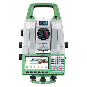
Leica Nova MS60 (Multi Station)
Documents
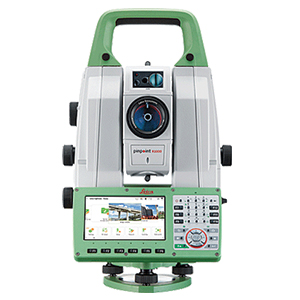
Leica Nova TS60
Documents