
Software
Software
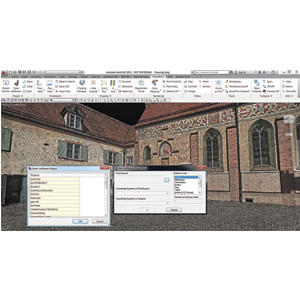
Leica Geosystems 3D laser scanning software suite sets the industry standard to capture, visualise, extract, analyse, share and represent point cloud data.
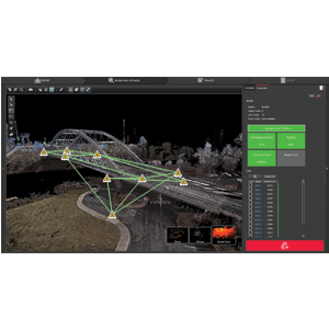
Leica Cyclone
Documents
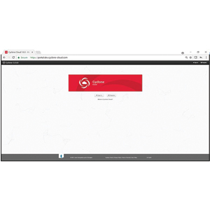
Leica Cyclone Cloud
Documents
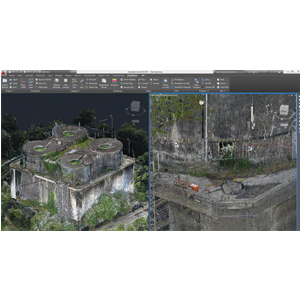
Leica CloudWorx
Documents
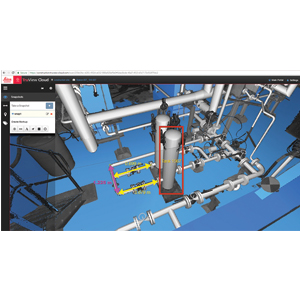
Leica TruView
Documents
Leica JetStream
Documents
